CHECKLIST
Identify deteriorations of the objects provided for by Road Cadastre
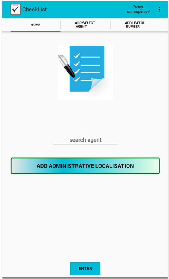
CheckList App is an application created in order to identify deteriorations of the objects provided for by Road Cadastre, whether they are vertical signs, guardrails, surface degradation etc. The peculiarity is the real-time dialogue between operators on the roads and control center.
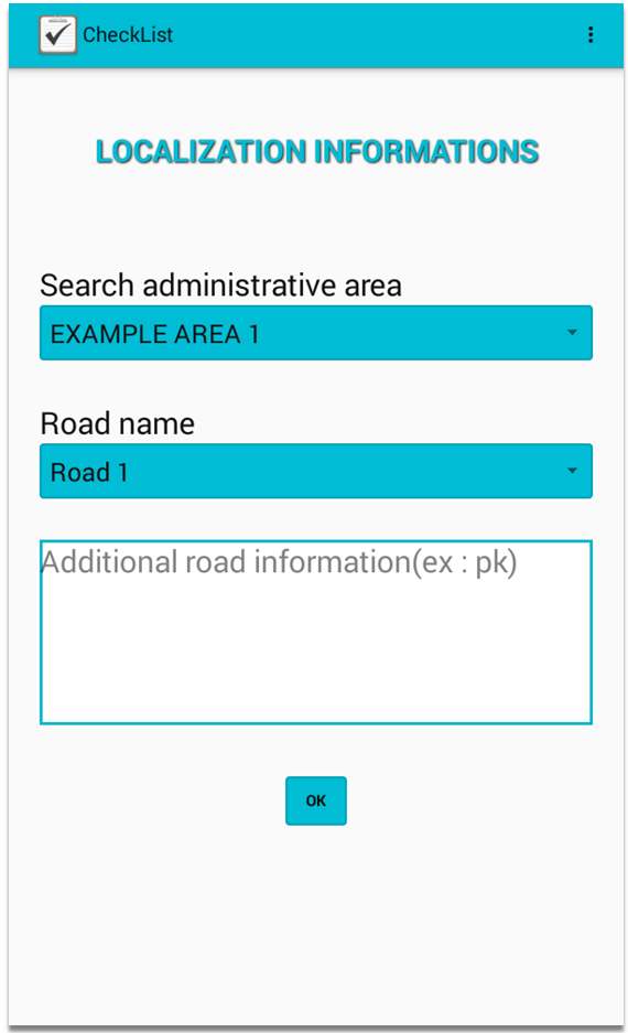
This tool can be installed on smartphones and tablets, exploiting the GPS and the built-in camera, to associate every object with its photo and its exact geographic location, to be attached to each checklist.
It can work in an independent manner, generating a PDF file for each created check-list, with the aim, for example, to provide a report to the customer or to the manager. Alternatively, it is possible to send data to PKBIM software, with which data can be modified (correcting GPS position, integrating information etc.) or simply validated and associated with a road, importing them into a previously created project.
New functionalities. The application will make possible to communicate directly with PKBIM software through a client/server system, for example, allowing to send information to operators that are working out in the field. It will be possible to send them the list of activities to be performed during the day, together with any information that is already present in a PKBIM project.
The CheckList App will constantly monitor incoming communications, receiving in real-time data related to the objects that need intervention. The operator will scroll down the list of objects, which are listed on the basis of his proximity to them, exploiting GPS technology. He will be able to do all required operations and, later, to return a report or to send new information, always in real time, to a responsible person who has PKBIM software.
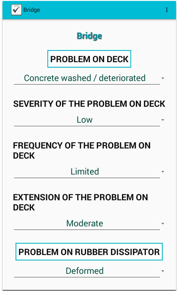
Simple. Simply enter information about each topic and the output is immediately available.
Practical. Data can always be consulted, because they are saved inside the device.
Prerequisites for using CheckList App. To make best use of the Android application CheckList App, it is needed a device (smartphone, tablet etc.) with:
- Android operating system 4.2 or higher;
- camera;
- GPS receiver;
- touch screen functionality.
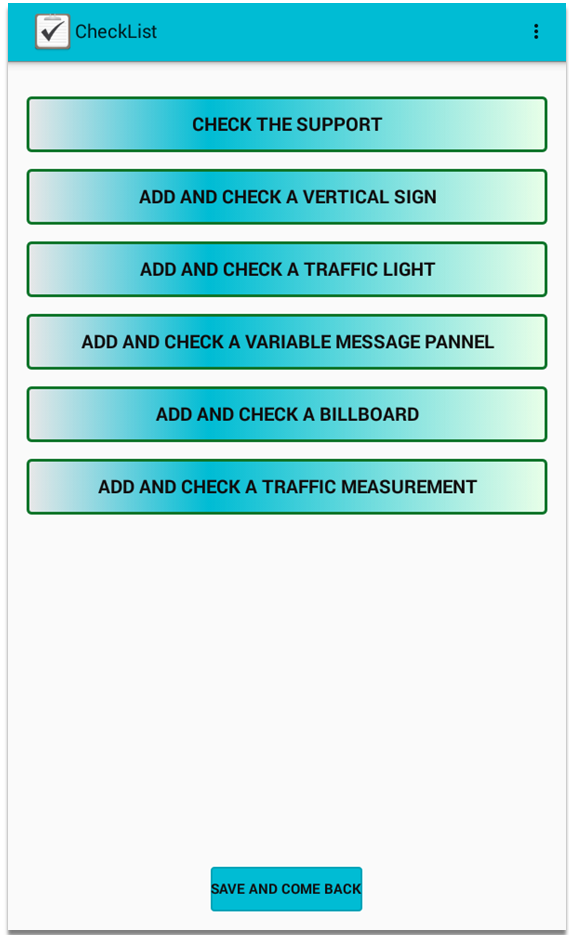
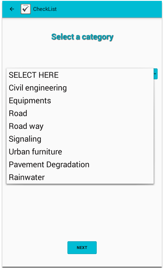
It is possible to take a census of all the objects that are provided for by Road Cadastre and even more:
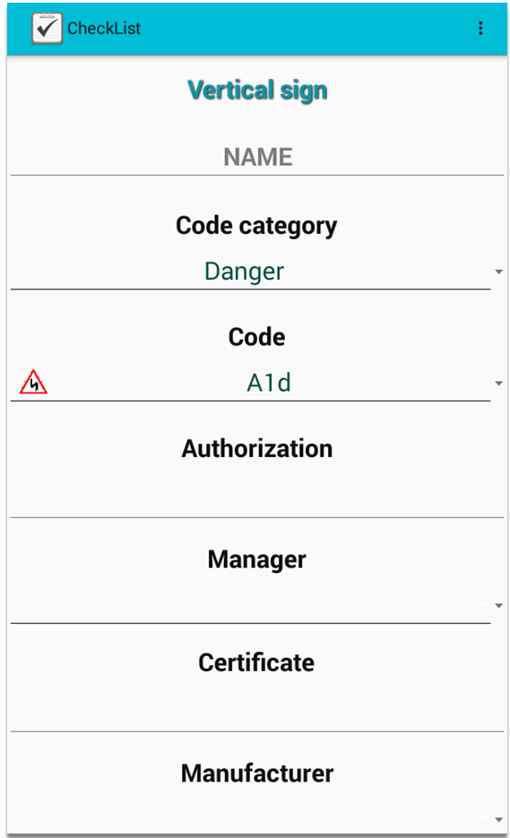
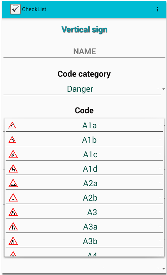
- Vertical and horizontal signs
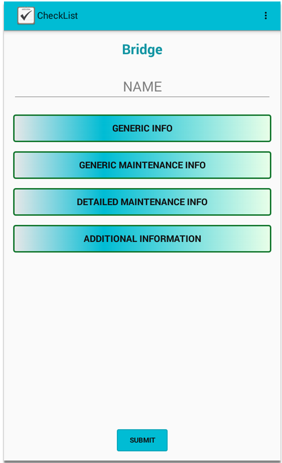
- Civil engineering works (bridges, tunnels, ...)
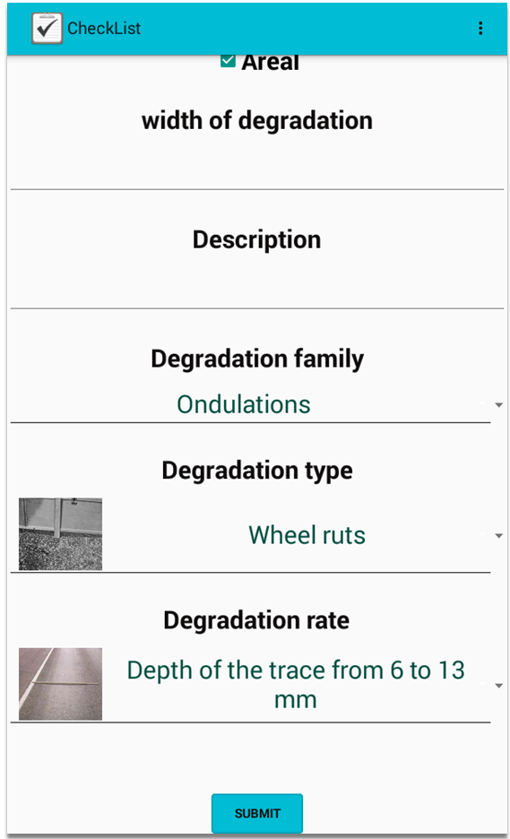
- Surface degradation
- Urban furniture
From HERE you can access some videos that explain the software and other applications

NEWS
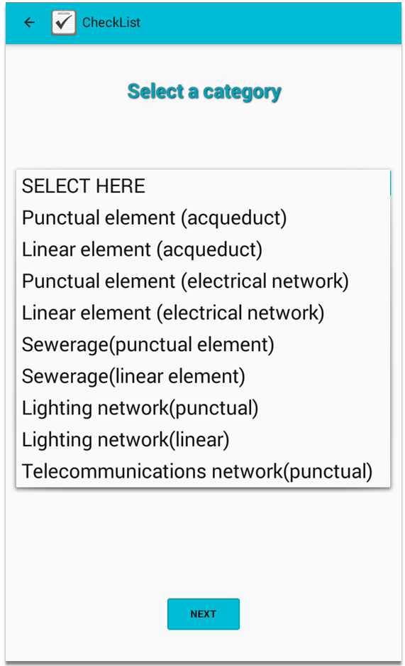
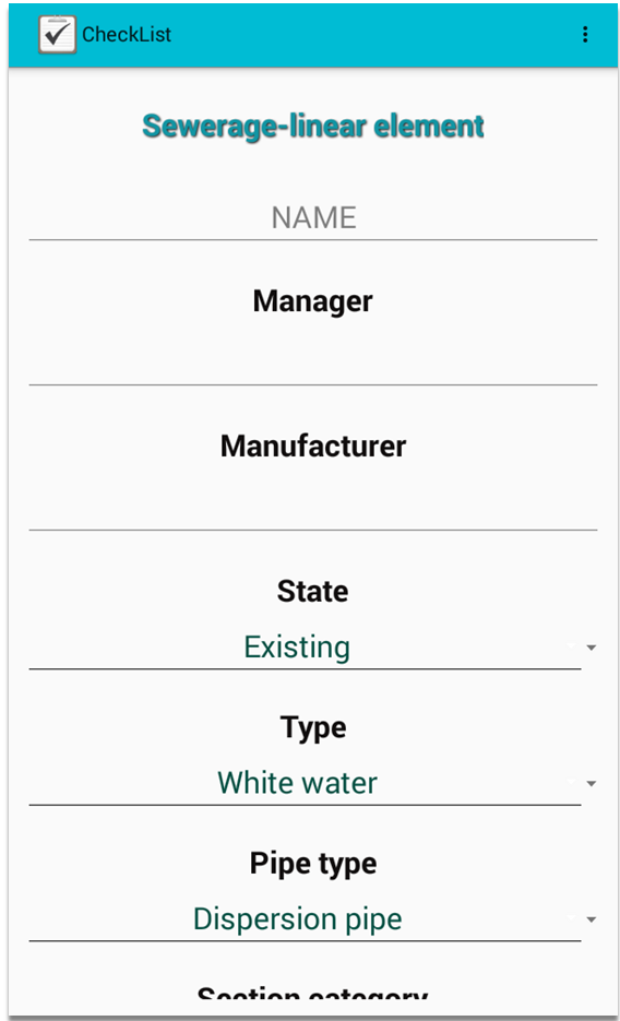
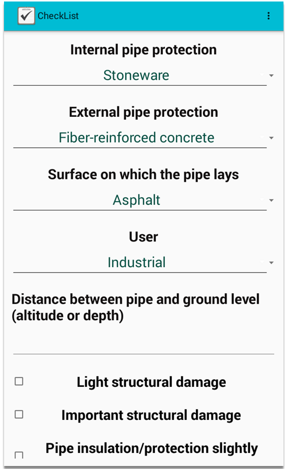
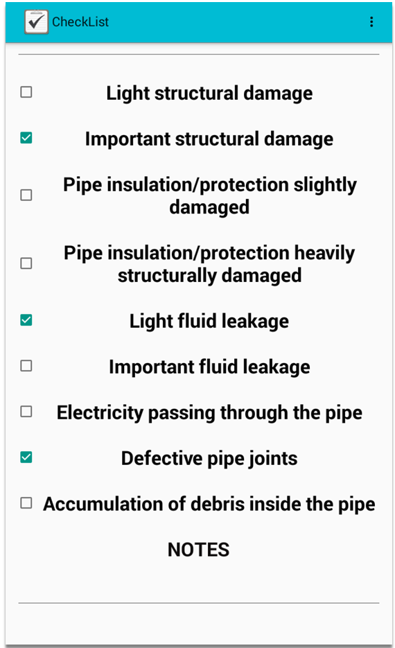
The new module allows the geolocation of Technological Networks of water supply, electricity, sewerage, public lighting and telecommunications. For each topic there is a specific inspection checklist.