Surveys
Road Assets Surveys
The Company proposes surveying services of road infrastructure with the aid of practical and high precision solutions:
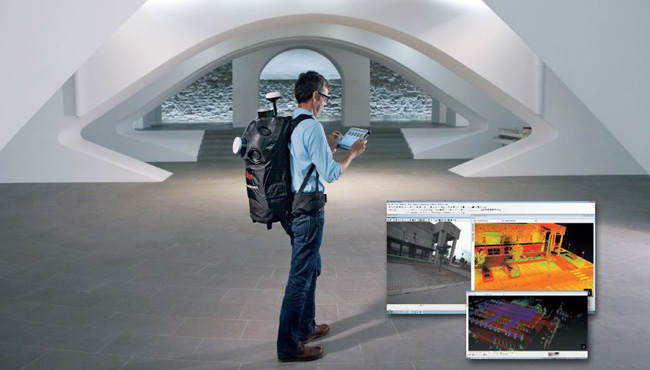
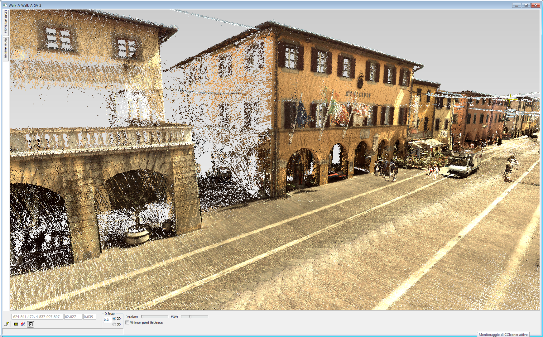
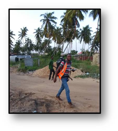
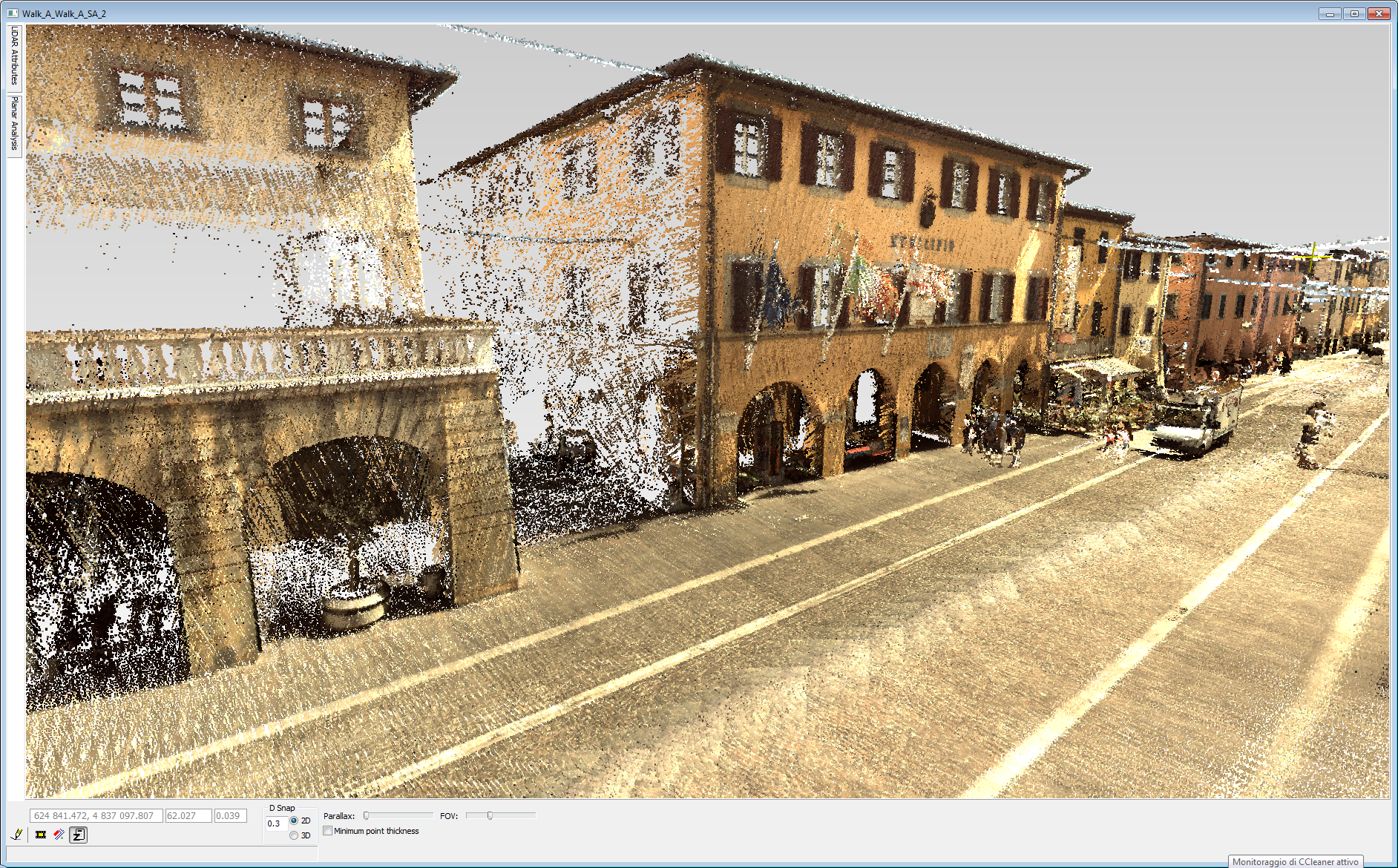
- The Leica Pegasus:Backpack is the award-winning wearable reality-capture sensor platform combining cameras and LiDAR profilers with the lightness of a carbon fibre chassis in a highly ergonomic design. This mobile mapping solution enables indoor or outdoor mapping documentation with professional quality. Designed for quick and easy reality capture, the Leica Pegasus:Backpack turns progressive scanning into a simple procedure.
- Box-Video: instrument for capturing georeferenced images which is equipped with 4 HD cameras and integrated dual frequency GPS
- Mini-Box:instrument equipped with an HD camera and integrated dual-frequency GPS for speed survey of roads, particularly suitable for surveys in harsh environments
The image capture systems (Box-Video and Mini-Box) are synchronized with the navigation system, so it is possible to know for each frame the position and the trim of the camera at the time of shooting.
In particular the Box-Video, using also the two cameras on the side allows having, together with the front camera, a wider overview of the shooting area permitting an evaluation of the actual state of filmed objects. The camera on the back of the vehicle is directed to film in particular the road surface.
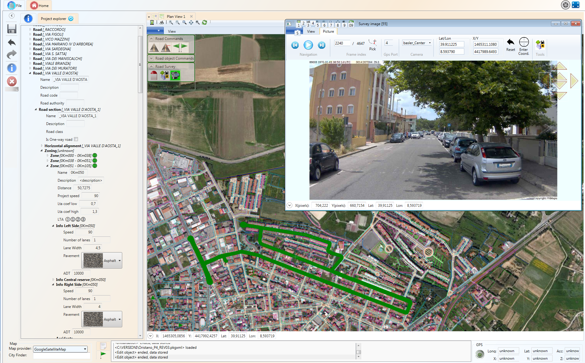
Data collected using Box-Video and Mini-Box can be viewed quickly with Survey Viewer or they can be processed, implemented and managed through the software PKBIM.
- Survey Viewer: developed in Java, it allows to display all used cameras and to load an orthophoto as reference mapping, viewing in a separate window the position of the camera moment by moment.
- PKBIM: The visualization of the georeferenced frames on PKBIM allows the implementation of the data base. Thanks to the survey and the subsequent data post-processing phase, we can localize and enter in PKBIM all the information regarding all the detected objects, obtaining as final result a survey of the actual state of the road infrastructure.
